Prepare lessons around the map
Plan map-led lessons, create geography activities, and review class understanding in one shared atlas.

Plan map-led lessons, create geography activities, and review class understanding in one shared atlas.
Teacher workflow
Teacher workflow
Explore countries, places, physical geography, and real-world data layers on an interactive globe and map.
Explore classroom tools→Designed for the classroom
Plan map-led lessons, create geography activities, and review class understanding in one shared atlas.
Plan map-led lessons, create geography activities, and review class understanding in one shared atlas.
Plan map-led lessons, create geography activities, and review class understanding in one shared atlas.
Teacher workflow
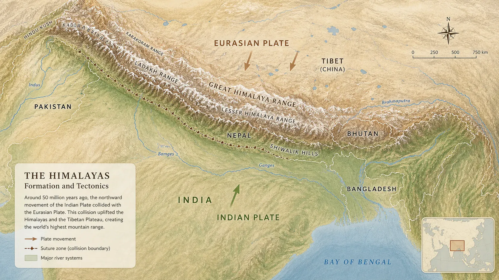
Explore countries, places, physical geography, and real-world data layers on an interactive globe and map.
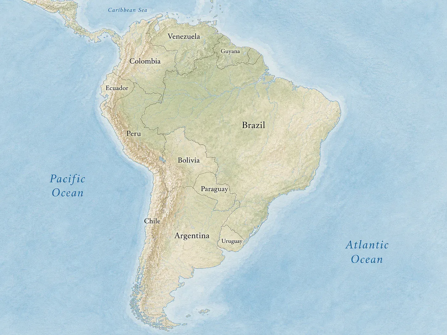
Explore countries, places, physical geography, and real-world data layers on an interactive globe and map.
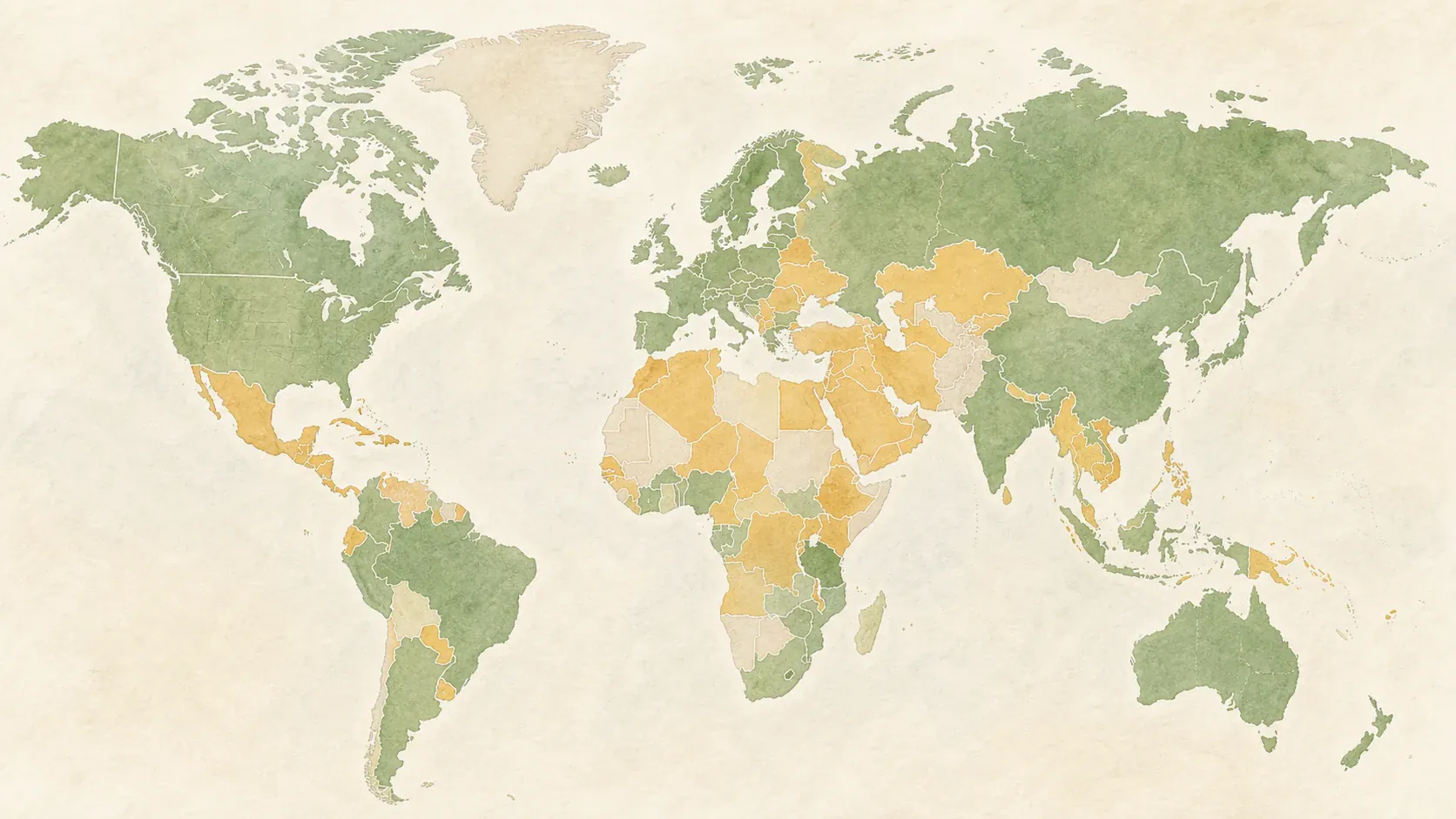
Explore countries, places, physical geography, and real-world data layers on an interactive globe and map.
Class insight
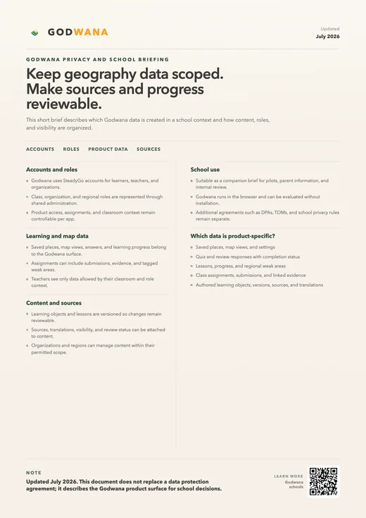
School documents
Geography that stays visible
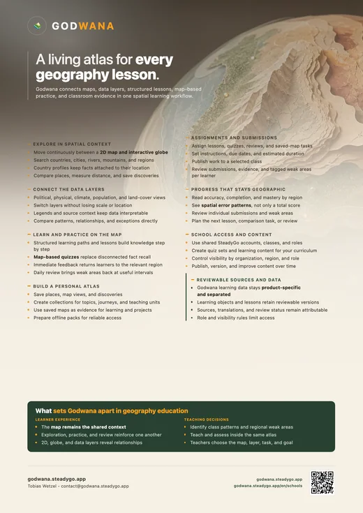
Geography lessons ask students to connect physical systems, human choices, data, vocabulary, and current events. Those connections are difficult to sustain when the map appears briefly at the start of a unit and disappears into worksheets, slides, and separate quiz tools. Godwana keeps the map at the center. Teachers can introduce a place in its wider region, reveal the layers that matter for the lesson, and move directly into an activity that uses the same spatial context. Students spend less effort translating between disconnected materials and more time reasoning about what the patterns mean. A consistent map also gives the class a shared reference: questions can be located, comparisons can be made at a common scale, and new vocabulary can be attached to features everyone can see. That shared reference remains useful when discussion takes an unexpected turn. A student question can be located and investigated without abandoning the planned lesson, so curiosity becomes part of the teaching rather than an interruption to it.
The shared atlas also creates continuity across lessons. A class can return to the same places with more sophisticated questions, build collections around a topic, and see how individual practice relates to the next useful explanation. Godwana supports teacher-led instruction, independent exploration, and focused review without treating them as separate products. The result is a calmer classroom workflow and a richer geographical story: every activity points back to the world, and every return to the map can add another layer of understanding. Units no longer need to feel like isolated chapters. Rivers introduced in physical geography can return during settlement, trade, agriculture, risk, or politics, helping students recognize that the same world underlies the whole curriculum. Repetition gains a purpose because the place is revisited with a new lens, not merely shown again. Students can see their understanding become more detailed while the underlying geography remains stable, shared, and recognizable. That continuity also makes it easier for a substitute teacher, support teacher, or returning student to understand where the class is and what it has already explored.
Start with the area your class needs to understand and prepare the view before the lesson. Choose the scale, center the relevant region, and select the layers that make the central idea visible. A lesson on river civilizations may combine terrain, waterways, and population; a climate unit may move between global zones and local examples; a discussion of migration may connect routes, borders, cities, and physical barriers. Because those choices live in one atlas, the teacher can move through the explanation without repeatedly switching tools or asking students to reconstruct where they are.
Prepared places and collections give a sequence to the lesson while preserving room for questions. If a student notices a pattern outside the planned route, the class can follow it and still return to the original view. The map can be projected for whole-class discussion, opened on student devices for closer inspection, or revisited during homework. The preparation is useful beyond a single presentation: it becomes a reusable geographical resource that can be refined as the curriculum, class, or local context changes.
A good geography classroom does more than display information. It asks students to observe, compare, explain, and challenge. Godwana makes that reasoning visible. Students can compare two regions at a consistent scale, switch layers to test an explanation, or trace how a physical feature crosses political boundaries. Instead of accepting a finished diagram, they participate in building the view and can point to the evidence behind an answer. The map becomes a common reference for precise language: upstream and downstream, coastal and inland, dense and sparse, connected and isolated.
This shared visual context supports different levels of prior knowledge. Students who need orientation can locate continents, neighbors, and major features before the discussion deepens. Students who are ready for more can investigate exceptions, question a category, or introduce another layer. Because everyone is working from the same world, differentiation does not have to split the class into unrelated tasks. The teacher can keep one central question in view while offering different routes toward a well-supported explanation.
When students move from explanation to activity, the geographical context should not vanish. Godwana turns the places and collections used in teaching into map-based practice. A class can identify regions, locate features, work with capitals and borders, or review a teacher-selected set. The activity feels like a continuation of the lesson because the visual language and spatial relationships remain familiar. Students receive immediate feedback and can revisit the relevant map when an answer shows uncertainty, making correction part of learning rather than the end of it.
Activities can be short enough for a lesson transition, structured as independent review, or used to prepare for a later discussion. The teacher does not need every student to follow an identical path at an identical speed. Practice records can show which places are secure and which patterns remain difficult, while students continue to encounter the material in a meaningful spatial form. This makes retrieval practice useful without reducing geography to a race through isolated names.
Class insight should answer an instructional question, not simply produce another dashboard. Godwana organizes progress around the geography students are learning. A teacher can see whether uncertainty clusters in one region, whether a particular type of task is causing difficulty, or whether a recently taught collection is becoming secure. That view helps distinguish a missing fact from a missing mental map. If many students confuse neighboring countries, the next step may be a regional comparison; if locations are secure but explanations are weak, the class may need another data layer and a better question. The information is most valuable when it changes what happens next, so the map presents patterns that can be carried directly back into planning and discussion.
Individual progress remains useful too. Students can review what needs attention without being defined by a single score, and teachers can support a learner with a focused set rather than repeating an entire unit. Over time, the mastery map creates a readable record of growth while keeping the emphasis on places and relationships. Assessment feeds back into teaching, teaching creates better exploration, and exploration gives practice a reason. That loop is what allows a shared atlas to become part of the classroom rather than another resource used once and forgotten. It also makes progress easier to explain: students, teachers, and families can see which parts of the world are becoming familiar and which concrete places will benefit from another visit. The conversation stays about learning and the next useful action, not about comparing students through an opaque score.
Designed for the classroom
Plan map-led lessons, create geography activities, and review class understanding in one shared atlas.
Godwana
Prepare lessons around the map
Explore countries, places, physical geography, and real-world data layers on an interactive globe and map.
Connect individual practice with the next useful lesson
7
Review routines
Progress views
Follow a four-level geography pathway with referenced learning objects, maps, data, vocabulary, and assessments.
Designed for the classroom
Plan map-led lessons, create geography activities, and review class understanding in one shared atlas.
Create institution→